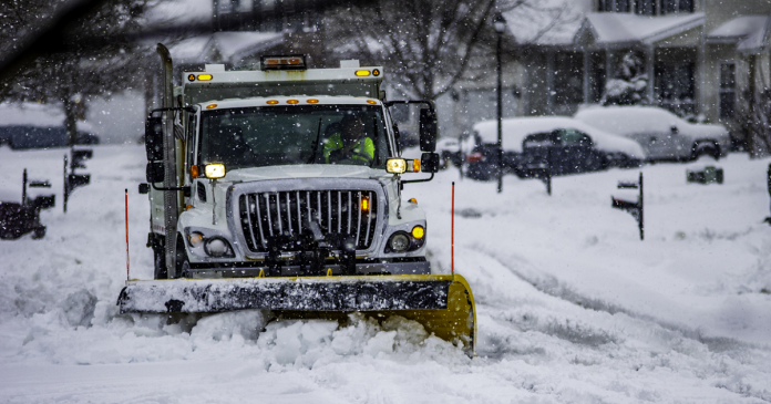
A winter storm is on the horizon, set to blanket Nova Scotia with snow from late Tuesday into early Wednesday, with snow accumulation expected to reach 15 to 30 cm by Wednesday noon. North winds blowing at 60 to 70 km/h are likely to cause blowing snow, significantly reducing visibility, especially during Tuesday night into Wednesday as temperatures drop post-sunset. The weather will start affecting the province from Tuesday afternoon through to the evening, with conditions expected to improve from west to east on Wednesday.
The Atlantic coast is anticipated to bear the brunt of this significant snowfall, intensified by strengthening north winds. Such storms, known for their nor’easter characteristics, can have their snowfall forecasts dramatically altered by slight shifts in their path. Therefore, weather alerts will be periodically updated with the latest and most accurate information. Following the storm, an extended period of snow showers and squalls is expected, especially in the northeastern part of the Nova Scotia peninsula and the north of Cape Breton, with ongoing snow accumulations possibly extending into the night from Thursday to Friday. This rapid accumulation of snow could make travel difficult in some areas, necessitating caution for residents and travelers alike.
In the US, winter Storm Lorraine is poised to intensify into a formidable nor’easter, targeting the East with a vengeance early this week, particularly affecting major metropolitan areas from Boston to Hartford and extending to New York City. The quick eastward progression of the storm is expected to disrupt travel significantly throughout Tuesday. The impending storm’s advance is currently marked by snowfall across parts of the Ozarks, while the South experiences a blend of rain and thunderstorms. This event prompts winter storm warnings spanning southern New England to southeast New York, northern New Jersey, and into central and northeast Pennsylvania, highlighting the widespread impact anticipated.
The Northeast braces for a challenging Tuesday, with morning and afternoon commutes likely to be hampered by potentially heavy snowfall, depending on the exact location within the storm’s path. The storm promises a mix of snow and rain across diverse regions, from the Ozarks through to the Appalachians, before delivering a blanket of snow to the Northeast by early Tuesday. Accompanying this are wind gusts between 30 to 40 mph, exacerbating conditions with reduced visibility, potential scattered power outages, and tree damage, alongside the risk of minor to moderate coastal flooding during Tuesday’s high tide, affecting areas from southern New England down to the mid-Atlantic coast, with the Jersey Shore facing a notable threat of flooding.


